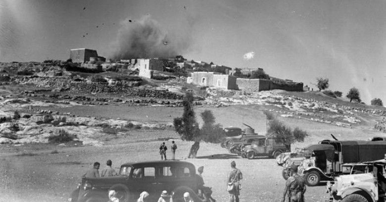
RAMALLAH, May 12, 2011 (WAFA) – A new statistical data by the Palestinian Central Bureau of Statistics published Thursday said Palestinians are eight times more after 63 years since the Nakba.
Statistics show that the number of Palestinians in 1948 was 1.4 million. The estimated number of Palestinians all over the world amounted to approximately 11 million by the end of 2010. This indicates that the number of Palestinians worldwide has multiplied eight times since the Nakba in its 63rd anniversary.
Statistics show that the total number of Palestinians living in historic Palestine (between Jordan River and the Mediterranean Sea) by end of 2010 totaled 5.5 million compared to 5.7 million Jews. It is also expected that the Palestinian and Jewish population in historic Palestine will be equal at end of the year 2014 and reach 6.1 million for each providing that growth rates remain current. It is also expected that the number of Palestinians will reach 7.2 million compared to 6.7 million Jews at the end of the year 2020.
Statistical data also show that refugees in the Palestinian Territory constitute 44.0% of the total Palestinian population in the Palestinian Territory. UNRWA records at mid 2010 showed that the number of registered Palestinian refugees totaled 4.8 million, constituting 43.4% of the total Palestinian population worldwide; distributed as 60.4% living in Jordan, Syria, Lebanon, 16.3% in the West Bank, and 23.3% in Gaza Strip. About 29.4% of Palestinian registered refugees live in the 58 refugee camps, of which 10 are in Jordan, 9 in Syria, 12 in Lebanon, 19 in the West Bank, and 8 in Gaza Strip.
These estimates represent the minimum number of Palestinian refugees, given the presence of non- registered refugees. These estimates also do not include Palestinians who were displaced between 1949 and 1967 war according to UNRWA's definition and do not include the non refugees who left or were forced to leave as a result of the war in 1967.
The estimate of the number of Palestinians who remained in their homeland in the 1948 territory after the Nakba was 154,000 persons and estimated to 1.36 million persons on the 63rd anniversary of the Nakba.
The sex ratio is 102.2 males per 100 females, and the percentage of persons aged less than 15 years is 40.6% of Palestinian population in the 1948 land, compared with 3.2% aged 65 years and over based on available statistics about Palestinian living in Israel in 2007. This shows that the composition of Palestinians in 1948 territory is young as a natural extension of the Palestinian society as a whole.
The number of the Palestinians in the Palestinian Territory was estimated at 4.1 million at the end of 2010, of whom 2.5 million in the West Bank and 1.6 million in Gaza Strip. The number of Palestinians in Jerusalem governorate was at end of 2010 about 386,000, 62.1% of them live in those parts of Jerusalem which were annexed forcefully by Israel in 1967 (J1). The fertility rate in the Palestinian Territory is high compared to other countries. The total fertility rate in 2010 was 4.2 births (3.8 births in the West Bank and 4.9 births in Gaza Strip).
The Nakba has made Gaza Strip the most crowded place in the World. The population density in the Palestinian Territory at end of 2010 reached 682 individuals/square km of which 450 individuals/km2 in the West Bank and 4,279 individuals/km2 in Gaza Strip.
In Israel, the population density reached 357 individuals/km2 of Arabs and Jews in 2010.
The number of Israeli settlements and military bases in the West Bank totaled 470 at the end of 2010. Most of settlements are located in Jerusalem governorate; while the number of Jewish settlers in the West Bank totaled 517,774 at end of the year 2009. Data show that 267,325 (51.6%) of settlers live in Jerusalem governorate of whom 201,273 live in Jerusalem (J1). Statistics show that the ratio of the Palestinians to the settlers in the West Bank is 21 settlers per 100 Palestinians, where the ratio in Jerusalem governorate reached 71 settlers per 100 Palestinians.
Israeli occupation confiscated hundreds of thousands dunums of land to construct the Expansion and Annexation Wall. Data showed that the isolated and confiscated area between the wall and the green line amounted to almost 733 km2, which represents about 13.0% of the West Bank area. These isolated and confiscated areas include 348 km2 as agricultural area, 110 km2 utilized by Israeli settlements and military bases, 250 km2 forests and open area and 25 km2 as Palestinian Built-up area. About 29% of the West Bank, mainly in the Jordan valley, is considered as restricted area; while 3.5% of the West Bank has been confiscated for settlements and bypass roads.
Israeli occupation established a buffer zone along the border of the Gaza Strip of a width exceeding 1,500 meters along the eastern border of the Gaza Strip that amounts to about 58 km. This buffer zone swallows 87 km² of the total area of the Gaza Strip, and that means the Israeli occupation still controls 24% of the Gaza Strip, which already suffers from the highest population density in the world.
About 11 million people live in the historical land of Palestine at end of 2010 with a 27,000 Km2 estimated area. The Jews constitute around 49.4% of the total population and utilize more than 85% of the total area of lands. The utilizing of land by the Jews during the British Mandate was not more than 1,682 km2 which constitute about 6.2%. While Arabs comprise 47.9% of the total population and utilize less than 15% of the land area, the others constitute about 2.7% of the population in the 1948' territory.
Preliminary data from the Palestinian Water Authority for the year 2010 showed that the amount of water purchased for domestic use from the Israeli Water Company (Mekorot) amounted to 53 million m3 in the West Bank. Data shows that the quantity of water purchased from the Israeli Water Company increased by 6 million m3 compared with last year, which constitutes about 15% of the annual available water quantity.
M.A.